As a rough guide, Bramley Green (completed in 2005) is the road complex formed by Nursery Road / Rowan Way / Bramley Way and all side roads coming off them plus The Chantrelles, Whitfield Close, Linfirld Close, Bentley Close and Hammond Close (west of Roundstone Lane).
The Dell (completed in the late 1980s but with Carina Drive added in 2004/5) is the road complex formed by Dell Drive / Foxdale Drive / Greenwood Drive and all the side roads coming off them.
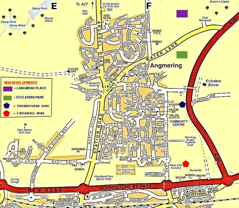
New roads to the east of Roundstone Lane are not currently shown on this map. In 2016 a large development known as Swanbourne Park (off the northern part of Roundstone Lane) was in an advance state of construction with many houses occupied. In the southern part of Roundstone Lane, construction of Cresswell Park commenced in the summer of 2016.
Roads in Swanbourne Park include: Alexander Avenue, Baker Way, Brougham Grove, Harrison Crescent, Lagden Gardens, Lambert Way, Maynard Mead, Nanson Lane, and Watson Grove,
Roads in Cresswell Park include: Hornbeam Avenue, Alium Gardens,Verbena Drive, Cresswell Square, and Thyme Place.